-
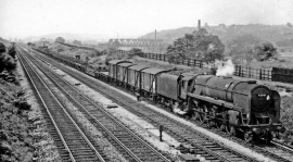
Eastbound freight on Calder Valley main line approaching Mirfield
-
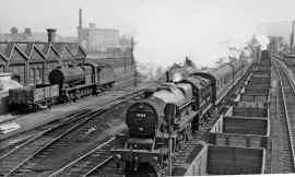
Leeds - Manchester stopping train passing Mirfield Locomotive Depot
Eastbound freight on Calder Valley main line approaching Mirfield
Leeds - Manchester stopping train passing Mirfield Locomotive Depot
Other current and historical names
Location and coordinates are for the approximate centre of Lower Hopton within this administrative area. Geographic features and populated places may cross administrative borders.