-

Outdoor gym by Reading Road, Eversley
-
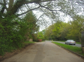
Service Road along Reading Road, Eversley
Outdoor gym by Reading Road, Eversley
Service Road along Reading Road, Eversley
Location and coordinates are for the approximate centre of Lower Eversley Copse within this administrative area. Geographic features and populated places may cross administrative borders.