-
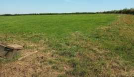
Pasture near Westacott Farm
-
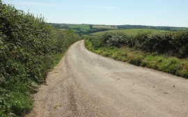
Milltown Hill
Pasture near Westacott Farm
Milltown Hill
Location and coordinates are for the approximate centre of Lower Down Copse within this administrative area. Geographic features and populated places may cross administrative borders.