-

Preparation for a farm sale
-
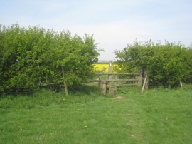
Stile on the path to Blyth
Preparation for a farm sale
Stile on the path to Blyth
Location and coordinates are for the approximate centre of Low Wood within this administrative area. Geographic features and populated places may cross administrative borders.