-
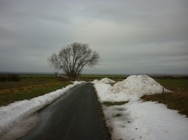
Heading downhill to South Newbald
-
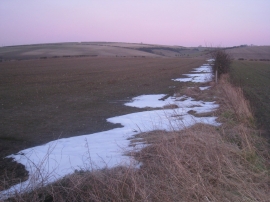
View towards Wye Dale
Heading downhill to South Newbald
View towards Wye Dale
Location and coordinates are for the approximate centre of Low Middle Field within this administrative area. Geographic features and populated places may cross administrative borders.