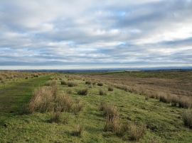
Loups's Plantation, County Durham

« Gazetteer Entry
Upload Photo

Loups's Plantation, County Durham

  • Parish/Community: Cotherstone
  • Unitary Authority: County Durham
  • Region: North East
  • Category: Landcover
  • Type: Forest or Wood
  • Latitude/Longitude: 54°32'44"N 2°2'55"W
  • Eastings/Northings: 396944, 516709
  • OS Grid: NY969167
  • Mapcode Local: GBR GH4W.79
  • Mapcode Global: WHB4J.H0ML

Location and coordinates are for the approximate centre of Loups's Plantation within this administrative area. Geographic features and populated places may cross administrative borders.

BritishPlaceNames.uk is a Good Stuff website.