-
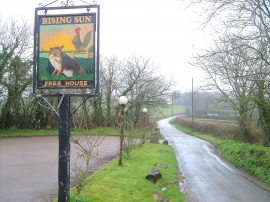
Car park and sign, Rising Sun
-
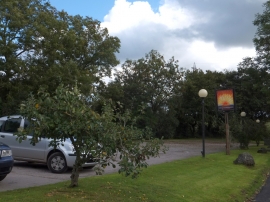
Car park and sign of the Rising Sun inn
Car park and sign, Rising Sun
Car park and sign of the Rising Sun inn
Location and coordinates are for the approximate centre of Longpark Copse within this administrative area. Geographic features and populated places may cross administrative borders.