-
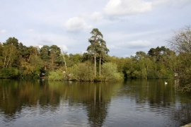
Longmoor Lake in California Country Park
-
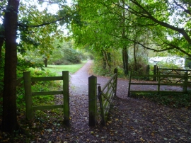
Bridleway turns right near Longmoor Lake
Longmoor Lake in California Country Park
Bridleway turns right near Longmoor Lake
Location and coordinates are for the approximate centre of Longmoor Lake within this administrative area. Geographic features and populated places may cross administrative borders.