-
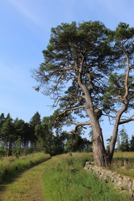
Track south of Westerhouse
-

A collection of very old petrol pumps at Craigend
Track south of Westerhouse
A collection of very old petrol pumps at Craigend
Location and coordinates are for the approximate centre of Longhill Burn within this administrative area. Geographic features and populated places may cross administrative borders.