-

Townsend Farm, Waterperry
-
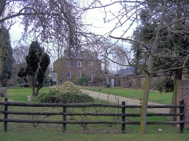
Townsend Farm House
Townsend Farm, Waterperry
Townsend Farm House
Location and coordinates are for the approximate centre of Longash Spinney within this administrative area. Geographic features and populated places may cross administrative borders.