-

Fields south of Lockinge
-
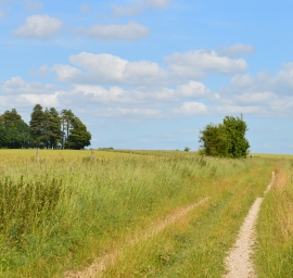
The Ridgeway, Lockinge, Oxfordshire
Fields south of Lockinge
The Ridgeway, Lockinge, Oxfordshire
Location and coordinates are for the approximate centre of Long Valley Belt within this administrative area. Geographic features and populated places may cross administrative borders.