-
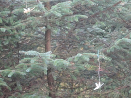
The Art of Plastic Dragonfly Hanging.
-
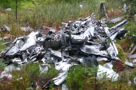
NY5786 Halifax DK116
The Art of Plastic Dragonfly Hanging.
NY5786 Halifax DK116
Location and coordinates are for the approximate centre of Long Rigg within this administrative area. Geographic features and populated places may cross administrative borders.