-

Track in Long Plantation
-
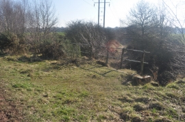
Old Colliery Railway Bridge
Track in Long Plantation
Old Colliery Railway Bridge
Location and coordinates are for the approximate centre of Long Plantation within this administrative area. Geographic features and populated places may cross administrative borders.