-
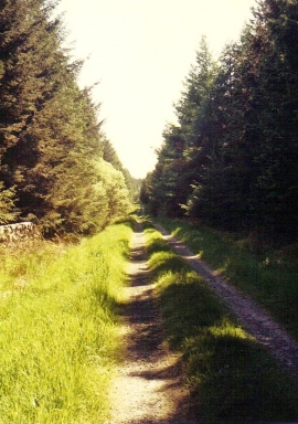
Glenvogie, 1990
-
In the forest 8
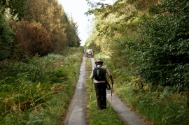
Glenvogie, 1990
In the forest 8
Location and coordinates are for the approximate centre of Long Plantation within this administrative area. Geographic features and populated places may cross administrative borders.