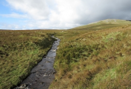
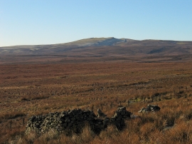
Long Grain Moss, County Durham

« Gazetteer Entry
Upload Photo

Long Grain Moss, County Durham

  • Parish/Community: Lunedale
  • Unitary Authority: County Durham
  • Region: North East
  • Category: Landcover
  • Type: Other Landcover
  • Latitude/Longitude: 54°35'16"N 2°13'45"W
  • Eastings/Northings: 385274, 521419
  • OS Grid: NY852214
  • Mapcode Local: GBR DHWD.45
  • Mapcode Global: WHB41.QYK9

Location and coordinates are for the approximate centre of Long Grain Moss within this administrative area. Geographic features and populated places may cross administrative borders.

BritishPlaceNames.uk is a Good Stuff website.