-

Remnant of Thorpe Abbotts Airfield
-
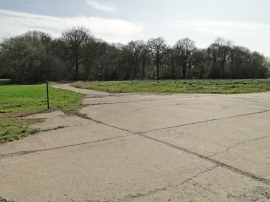
Remnant of Thorpe Abbotts Airfield
Remnant of Thorpe Abbotts Airfield
Remnant of Thorpe Abbotts Airfield
Location and coordinates are for the approximate centre of Long Covert within this administrative area. Geographic features and populated places may cross administrative borders.