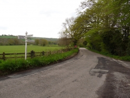
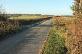
Long Broompark Copse, Devon

« Gazetteer Entry
Upload Photo

Long Broompark Copse, Devon

  • Parish/Community: Ashreigney
  • District/Borough: Torridge
  • County: Devon
  • Region: South West
  • Category: Landcover
  • Type: Forest or Wood
  • Latitude/Longitude: 50°54'40"N 3°55'23"W
  • Eastings/Northings: 264890, 114187
  • OS Grid: SS648141
  • Mapcode Local: GBR KX.QXLR
  • Mapcode Global: FRA 26NP.RDJ

Location and coordinates are for the approximate centre of Long Broompark Copse within this administrative area. Geographic features and populated places may cross administrative borders.

BritishPlaceNames.uk is a Good Stuff website.