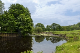
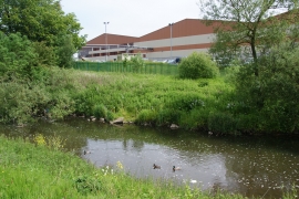
Lomeshaye, Lancashire

« Gazetteer Entry
Upload Photo

Lomeshaye, Lancashire

  • Built-Up Area: Brierfield
  • Parish/Community: Brierfield
  • District/Borough: Pendle
  • County: Lancashire
  • Region: North West
  • Category: Populated Place
  • Type: Other Settlement
  • Latitude/Longitude: 53°50'0"N 2°14'13"W
  • Eastings/Northings: 384500, 437500
  • OS Grid: SD845375
  • Mapcode Local: GBR DST3.HJ
  • Mapcode Global: WHB7Q.LXZ0

Location and coordinates are for the approximate centre of Lomeshaye within this administrative area. Geographic features and populated places may cross administrative borders.

BritishPlaceNames.uk is a Good Stuff website.