-
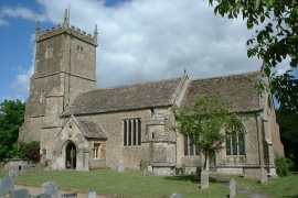
St Peter & St Paul's church, Great Somerford
-
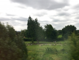
Cemetery - Little Somerford
St Peter & St Paul's church, Great Somerford
Cemetery - Little Somerford
Location and coordinates are for the approximate centre of Loes Belt within this administrative area. Geographic features and populated places may cross administrative borders.