-

Woodlands by Dorking Road, Kingsfold
-
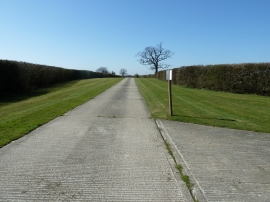
Neat grass and hedges on drive to Bonnetts
Woodlands by Dorking Road, Kingsfold
Neat grass and hedges on drive to Bonnetts
Location and coordinates are for the approximate centre of Lodge Copse within this administrative area. Geographic features and populated places may cross administrative borders.