-
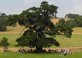
Sheltering from the sun under an old oak tree at the Devon County Fayre
Sheltering from the sun under an old oak tree at the Devon County Fayre
Location and coordinates are for the approximate centre of Lock's Plantation within this administrative area. Geographic features and populated places may cross administrative borders.