-
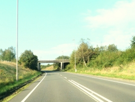
Bridge over the A75
-
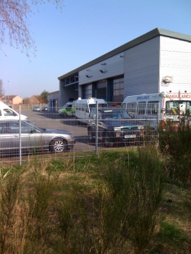
Ambulance Service
Bridge over the A75
Ambulance Service
Location and coordinates are for the approximate centre of Lochside within this administrative area. Geographic features and populated places may cross administrative borders.