-
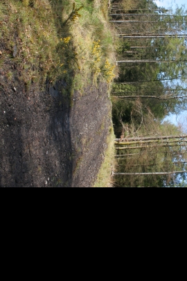
Track into the wood
-
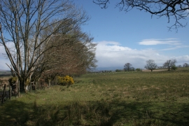
Field beside the road to Blaircessnock
Track into the wood
Field beside the road to Blaircessnock
Location and coordinates are for the approximate centre of Lochinwand Wood within this administrative area. Geographic features and populated places may cross administrative borders.