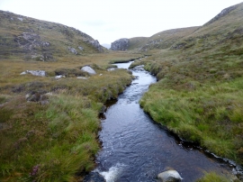
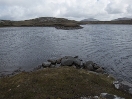
Loch na Faoirbh, Na h-Eileanan Siar

« Gazetteer Entry
Upload Photo

Loch na Faoirbh, Na h-Eileanan Siar

  • Unitary Authority: Na h-Eileanan Siar
  • Region: Scotland
  • Category: Water Feature
  • Type: Inland Water
  • Latitude/Longitude: 58°9'10"N 7°3'47"W
  • Eastings/Northings: 102252, 929424
  • OS Grid: NB022294
  • Mapcode Local: GBR 87Y5.PHH
  • Mapcode Global: WGW0R.GBQP

Location and coordinates are for the approximate centre of Loch na Faoirbh within this administrative area. Geographic features and populated places may cross administrative borders.

BritishPlaceNames.uk is a Good Stuff website.