-
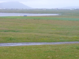
Machair by Loch Hallan
-
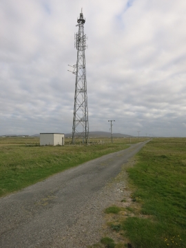
Communications mast, Cladh H
Machair by Loch Hallan
Communications mast, Cladh H
Location and coordinates are for the approximate centre of Loch Hallan within this administrative area. Geographic features and populated places may cross administrative borders.