-

Loch Eisiadair - Dun
-
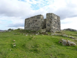
Quite clearly NOT an Iron Age dun
Loch Eisiadair - Dun
Quite clearly NOT an Iron Age dun
Location and coordinates are for the approximate centre of Loch Eisiadair within this administrative area. Geographic features and populated places may cross administrative borders.