-
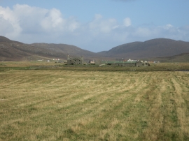
Stubble field and Milton House
-
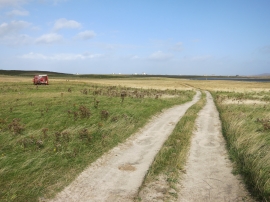
Machair track
Stubble field and Milton House
Machair track
Location and coordinates are for the approximate centre of Loch Eilean an Staoir within this administrative area. Geographic features and populated places may cross administrative borders.