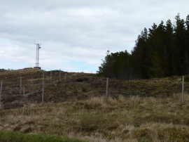
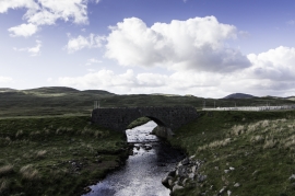
Loch an Rathaid, Na h-Eileanan Siar

« Gazetteer Entry
Upload Photo

Loch an Rathaid, Na h-Eileanan Siar

  • Unitary Authority: Na h-Eileanan Siar
  • Region: Scotland
  • Category: Water Feature
  • Type: Inland Water
  • Latitude/Longitude: 58°2'45"N 6°42'22"W
  • Eastings/Northings: 122404, 916002
  • OS Grid: NB224160
  • Mapcode Local: GBR 97TG.C21
  • Mapcode Global: WGX2M.Y1Q5

Location and coordinates are for the approximate centre of Loch an Rathaid within this administrative area. Geographic features and populated places may cross administrative borders.

BritishPlaceNames.uk is a Good Stuff website.