-
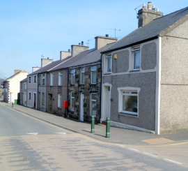
Houses on the east side of Ffordd Rhedyw, Llanllyfni
-

Boarded-up former Quarryman's Arms, Llanllyfni
Houses on the east side of Ffordd Rhedyw, Llanllyfni
Boarded-up former Quarryman's Arms, Llanllyfni
Location and coordinates are for the approximate centre of Llanllyfni within this administrative area. Geographic features and populated places may cross administrative borders.