-
Llanarthne on the B4300
-

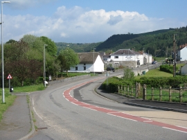
Road junction at Llanarthne
Llanarthne on the B4300
Road junction at Llanarthne
Other current and historical names
Location and coordinates are for the approximate centre of Llanarthne within this administrative area. Geographic features and populated places may cross administrative borders.