-
Path, Gamuelston Burn
-
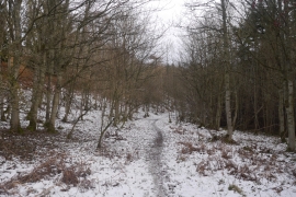
Path, Todlaw Bog Wood
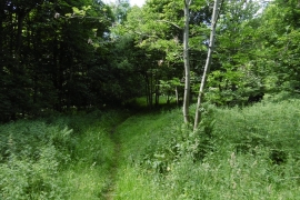
Path, Gamuelston Burn
Path, Todlaw Bog Wood
Location and coordinates are for the approximate centre of Little Todlaw Wood within this administrative area. Geographic features and populated places may cross administrative borders.