-
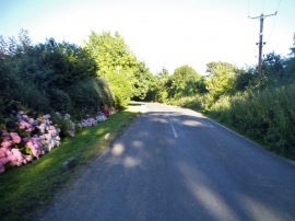
Tickham Lane, Erriotwood
-
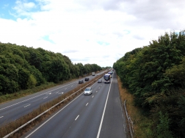
M2 Motorway
Tickham Lane, Erriotwood
M2 Motorway
Location and coordinates are for the approximate centre of Little Sharsted Wood within this administrative area. Geographic features and populated places may cross administrative borders.