-
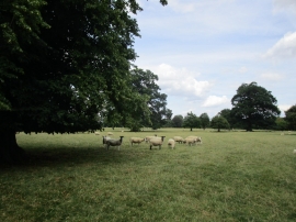
Sheep in Tusmore Park
-
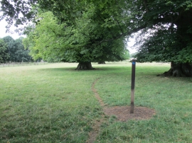
Where the bridleway leaves Lime Avenue
Sheep in Tusmore Park
Where the bridleway leaves Lime Avenue
Location and coordinates are for the approximate centre of Little Limekiln Copse within this administrative area. Geographic features and populated places may cross administrative borders.