-

Un-named lane junction with Stoke Road
-
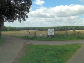
Entrance to The Trinley Estate
Un-named lane junction with Stoke Road
Entrance to The Trinley Estate
Location and coordinates are for the approximate centre of Little Leafy Grove within this administrative area. Geographic features and populated places may cross administrative borders.