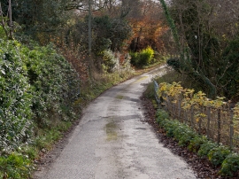
-
A bridge over Mully Brook near Riddlecombe
-
Looking downstream from a bridge on Mully Brook near Riddlecombe
A bridge over Mully Brook near Riddlecombe
Looking downstream from a bridge on Mully Brook near Riddlecombe
Location and coordinates are for the approximate centre of Little Hayes Plantation within this administrative area. Geographic features and populated places may cross administrative borders.