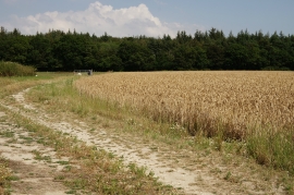
Little Goswell Copse, Hampshire

« Gazetteer Entry
Upload Photo

Little Goswell Copse, Hampshire

  • Parish/Community: Beaulieu
  • District/Borough: New Forest
  • County: Hampshire
  • Region: South East
  • Category: Landcover
  • Type: Forest or Wood
  • Latitude/Longitude: 50°50'6"N 1°27'9"W
  • Eastings/Northings: 438647, 104099
  • OS Grid: SU386040
  • Mapcode Local: GBR 777.KKF
  • Mapcode Global: FRA 76VW.MXW

Location and coordinates are for the approximate centre of Little Goswell Copse within this administrative area. Geographic features and populated places may cross administrative borders.

BritishPlaceNames.uk is a Good Stuff website.