-
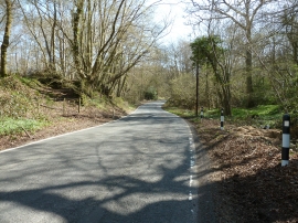
Newick Lane passing through Great Furnace Wood
-

Discarded concrete bollards on Newick Lane
Newick Lane passing through Great Furnace Wood
Discarded concrete bollards on Newick Lane
Location and coordinates are for the approximate centre of Little Furnace Wood within this administrative area. Geographic features and populated places may cross administrative borders.