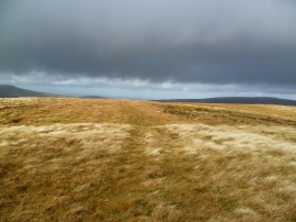
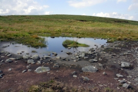
Little Fell Brae, North Yorkshire

« Gazetteer Entry
Upload Photo

Little Fell Brae, North Yorkshire

  • Parish/Community: High Abbotside
  • District/Borough: Richmondshire
  • County: North Yorkshire
  • Region: Yorkshire and the Humber
  • Category: Landcover
  • Type: Other Landcover
  • Latitude/Longitude: 54°22'17"N 2°17'49"W
  • Eastings/Northings: 380800, 497379
  • OS Grid: SD808973
  • Mapcode Local: GBR DKDW.HN
  • Mapcode Global: WH941.PDC0

Location and coordinates are for the approximate centre of Little Fell Brae within this administrative area. Geographic features and populated places may cross administrative borders.

BritishPlaceNames.uk is a Good Stuff website.