-
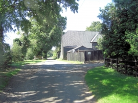
Harrow Way passes Dean Down Farm
-
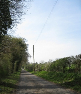
Harrow Way
Harrow Way passes Dean Down Farm
Harrow Way
Location and coordinates are for the approximate centre of Little Deane Wood within this administrative area. Geographic features and populated places may cross administrative borders.