-
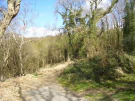
Pathway, upper carpark, Colby Lodge
-
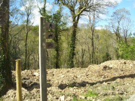
Signpost, upper carpark, Colby Lodge
Pathway, upper carpark, Colby Lodge
Signpost, upper carpark, Colby Lodge
Location and coordinates are for the approximate centre of Little Craig-y-borion Wood within this administrative area. Geographic features and populated places may cross administrative borders.