-
Splendid feathers
-

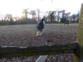
Footpath crosses ditch to stile
Splendid feathers
Footpath crosses ditch to stile
Location and coordinates are for the approximate centre of Little Cobwood within this administrative area. Geographic features and populated places may cross administrative borders.