-
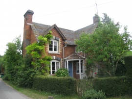
Cottage on Kite's Nest Lane
-
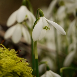
Galanthus elwesii, close-up
Cottage on Kite's Nest Lane
Galanthus elwesii, close-up
Location and coordinates are for the approximate centre of Little Bulley Wood within this administrative area. Geographic features and populated places may cross administrative borders.