-
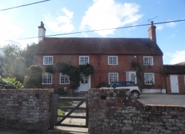
House on Hook Road, Greywell
-
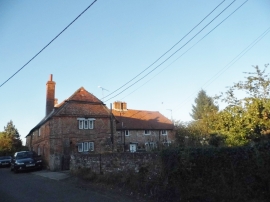
House in Greywell
House on Hook Road, Greywell
House in Greywell
Location and coordinates are for the approximate centre of Little Bacon Copse within this administrative area. Geographic features and populated places may cross administrative borders.