-
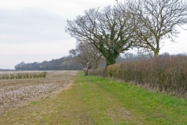
Footpath on field margin, Hawkin's Hill, Little Sampford
-
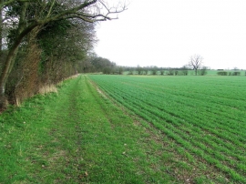
Footpath And Field Boundary
Footpath on field margin, Hawkin's Hill, Little Sampford
Footpath And Field Boundary
Location and coordinates are for the approximate centre of Little Almond's Grove within this administrative area. Geographic features and populated places may cross administrative borders.