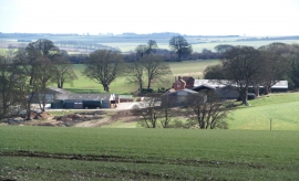
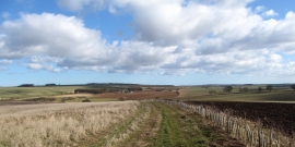
Linton Wold, North Yorkshire

« Gazetteer Entry
Upload Photo

Linton Wold, North Yorkshire

  • Parish/Community: Kirby Grindalythe
  • District/Borough: Ryedale
  • County: North Yorkshire
  • Region: Yorkshire and the Humber
  • Category: Landcover
  • Type: Other Landcover
  • Latitude/Longitude: 54°7'32"N 0°36'23"W
  • Eastings/Northings: 491174, 470894
  • OS Grid: SE911708
  • Mapcode Local: GBR SN6Q.JS
  • Mapcode Global: WHGCP.NKFG

Location and coordinates are for the approximate centre of Linton Wold within this administrative area. Geographic features and populated places may cross administrative borders.

BritishPlaceNames.uk is a Good Stuff website.