-
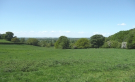
Pastoral landscape near Broadhill, Staffordshire
-
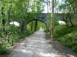
A farm-lane bridge near Lindore Wood
Pastoral landscape near Broadhill, Staffordshire
A farm-lane bridge near Lindore Wood
Location and coordinates are for the approximate centre of Lindore Wood within this administrative area. Geographic features and populated places may cross administrative borders.