-
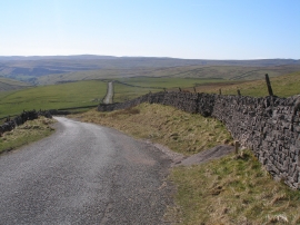
The road to Kettlewell
-
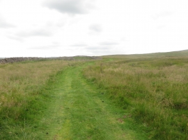
Path following a dry stone wall
The road to Kettlewell
Path following a dry stone wall
Location and coordinates are for the approximate centre of Lime Kiln Pasture within this administrative area. Geographic features and populated places may cross administrative borders.