-
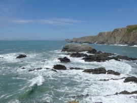
Rocky shoreline at Hartland Quay, Devon
-
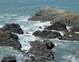
Rocky shoreline at Hartland Quay, Devon
Rocky shoreline at Hartland Quay, Devon
Rocky shoreline at Hartland Quay, Devon
Location and coordinates are for the approximate centre of Life Rock within this administrative area. Geographic features and populated places may cross administrative borders.