-
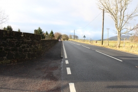
A76 to New Cumnock Passing St Conals Cemetery
-
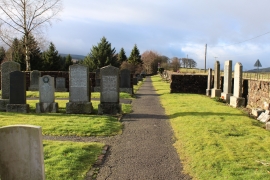
St Conals Cemetery, Kirkconnel
A76 to New Cumnock Passing St Conals Cemetery
St Conals Cemetery, Kirkconnel
Location and coordinates are for the approximate centre of Libry Moor within this administrative area. Geographic features and populated places may cross administrative borders.