-
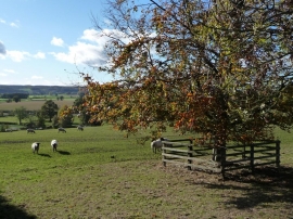
Sheep near Leysthorpe Cottages
-
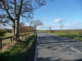
Leysthorpe Lane, the B1257
Sheep near Leysthorpe Cottages
Leysthorpe Lane, the B1257
Location and coordinates are for the approximate centre of Leysthorpe within this administrative area. Geographic features and populated places may cross administrative borders.